Namsei Valley

2023-03-20

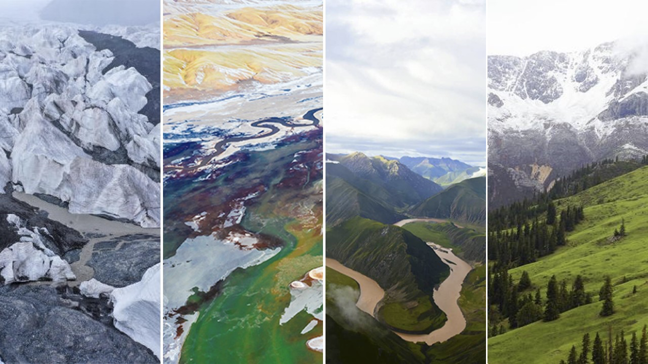
The climate of Sanjiangyuan is a typical highland continental climate with no distinct seasons and distinguished only as cool and warm seasons. The average height of Sanjiangyuan is above 4,000 meters, and the landscape is mainly mountainous. The western and northern parts have higher elevation and smaller mountain undulations, showing the geomorphic characteristics of plateau hills; the eastern and southeastern parts have lower elevation and dramatic mountain undulations, showing the geomorphic characteristics of alpine gorges. In the vast area of Sanjiangyuan, there are various ecosystems such as forests, grasslands, wetlands, and deserts.

image.png

Source: Sanjiangyuan National Park Website 


Terrain and Landform

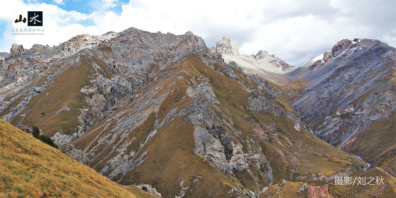
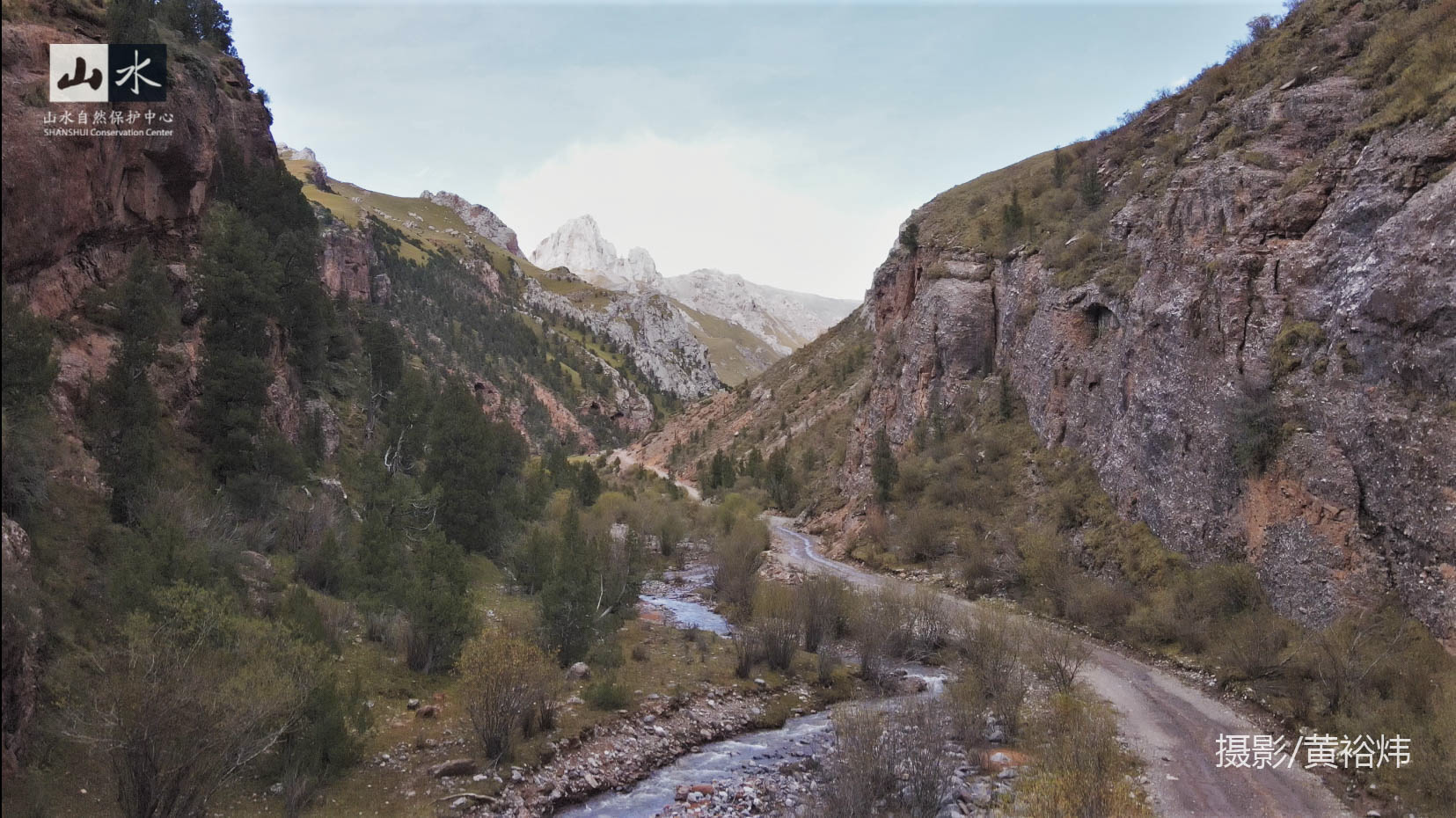
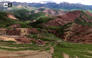
Angsai area retains traces of geological activities on the Qinghai-Tibet Plateau and has the most completely developed Cretaceous Danxia landform on the Qinghai-Tibet Plateau, as well as the Carboniferous and Permian limestone karst landscape. These record the characteristics of the river valleys developed in the upstream area of Lancang River, showing a relatively complete grassland-forest ecosystem and biodiversity landscape system.

The Angsai Danxia area has similar geographical forms as the southwest and southeast Danxia areas. Because it is located in the transition zone from the Qinghai-Tibet Plateau to the Yunnan-Guizhou Plateau, the strong cutting effect on the edge part of the plate has formed Danxia landscape of tremendous scale; at the same time, the stream trenching in the Sanjiangyuan area is very slow, forming geomorphic forms such as valleys, stone peaks and stone pillars.

Tips. What is Danxia Landform? It is generally agreed that landform with continental red beds with steep cliffs is called Danxia landform. It is made of red clastic rocks with horizontal or gentle laminated iron-calcium mixed with uneven cementation, cut by vertical or high-angle joints, and formed under the combined effect of differential weathering, gravity collapse, water dissolution and wind erosion. It usually has the characteristics of “flat top, steep body, and slow bottom” and looks like layers of red clouds. It is renowned for its bright haze.

image.png

image.png


Natural Habitat

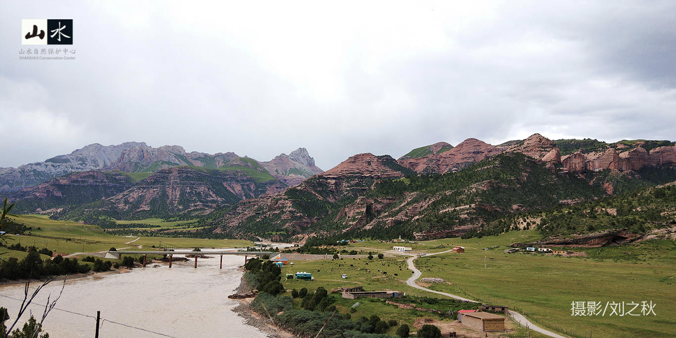
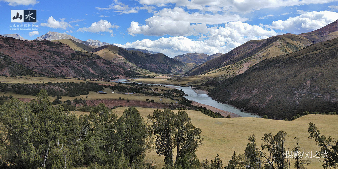
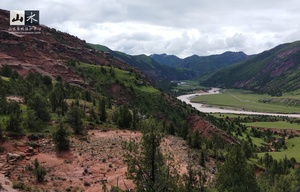
The vertical distribution of vegetation in Angsai is quite pronounced. In the mountain grey-cinnamon forest soil or mountain orthent areas, the main constructive species is Juniperus tibetica, with lush understory herbs. The alpine meadow habitat mainly grows wormwood and Polygonaceae plants. Because part of the area between the alpine meadow habitat and the stony mountains is the alpine shrub meadow habitat, the vegetation in this area is mainly composed of mountain willow shrubs, with accompanying species such as shrubby cinquefoil, Sibiraea Maxim plants and Caragana jubat. In higher altitude areas of stony mountains or gravel belts, there are fewer herbs and woody plants.

The diversity of habitat types provides suitable habitats for many wild animals, both forest-dwelling species adapted to alpine forests and species adapted to meadows. There are animal species adapted to rivers and wilderness habitats as well as species adapted to high meadows and alpine screes.

image.png

image.png


Culture & History

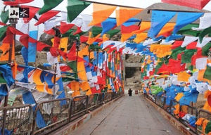
The Qinghai-Tibet Plateau is a vast area with high mountains and steep roads. Throughout its long history, it has gradually divided into three distinctive cultural regions, namely "Ü-Tsang, Khampa, and Amdo". There is also a saying that "Ü-Tsang is the land of Buddhism, Amdo the land of horses, and Khampa the land of people".

The Yushu region, where Angsai is located, is part of the Khampa Tibetan region. Khampa has always been in a transitional zone between the Han and Tibetan groups, and has distinct characteristics in administrative, religious, economic and cultural aspects. The Khampa people are known for their straightforward ethnicity and religious devotion. They have a tradition of business and travel and are relatively strong.

In the early days, the Qinghai-Tibet Plateau was scattered with large and small clans, and human have been living and working in the area of Yushu since at least 8,100 years ago. During the period of the Tubo Kingdom, Yushu was a part of Supi and was considered one of the brightest pearls on the Tang Fan Acient Road. Throughout its history, Yushu has had more than 70 tribes, which evolved into a total of 40 tribes by the year 1732, and the number fell into 25 by the mid 20th century. These tribes are known as "the 25 tribes of Yushu". The county of Zaduo used to belong to the "Four Tribes of Gegi", and therefore Zaduo is also known by the local people as "Gegi Zaduo".

The tribes of Gegi are divided into Gegi Doma and Gegi Mima, and Angsai Township is the birthplace of Gegi Mima tribe. The tribe underwent the Mongolian invasion, and was ruled during the ROC period by the Ma family, whose brutal oppression was met with heroic resistance. When Yushu was liberated in 1949, the tribe of Gegi Mima was one of the hundred households of Nangqen. In 1958, the Gegi Angsai tribes had 360 households with a total of 1,080 people. The stories of Gegi tribes are widely told among people. Any elder from the area will know no less than any history book.
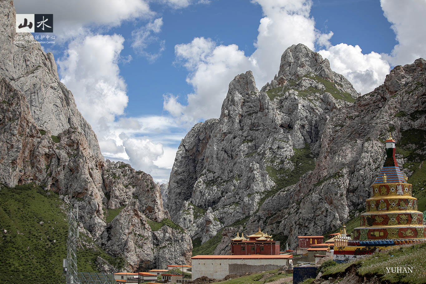
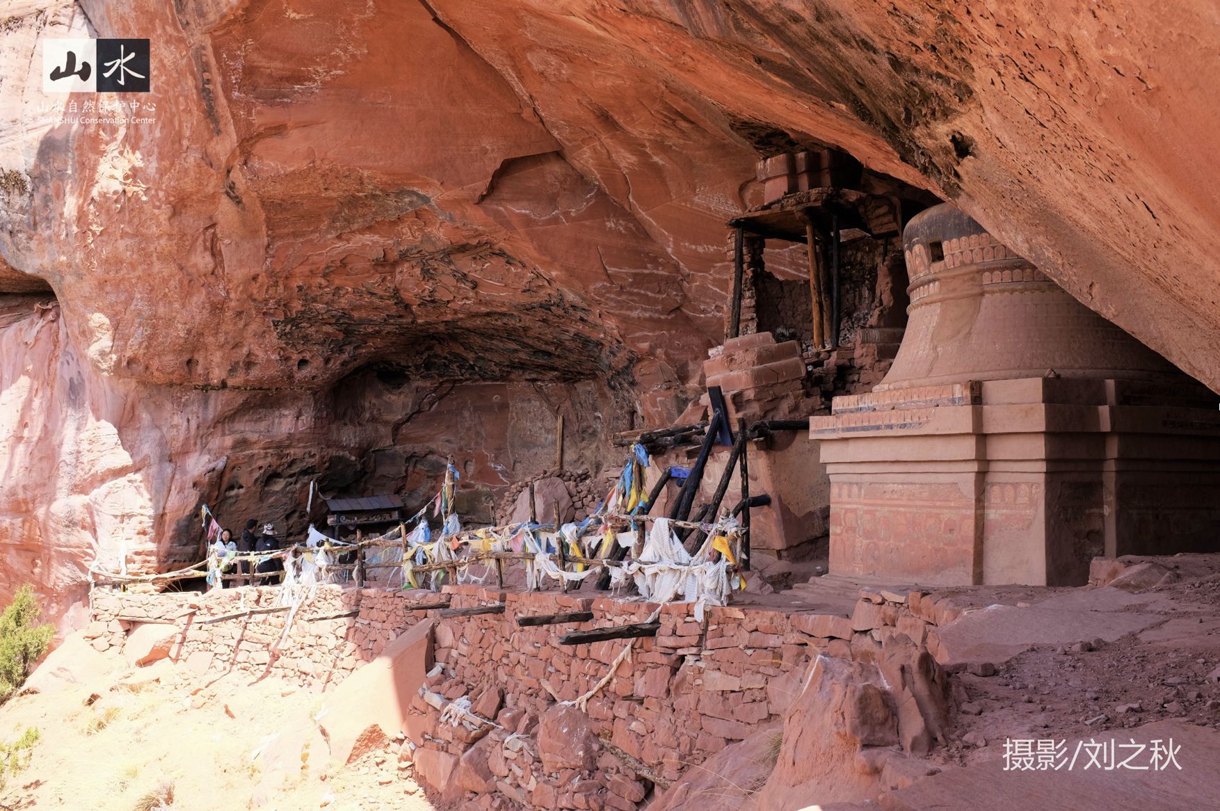
image.png

image.png